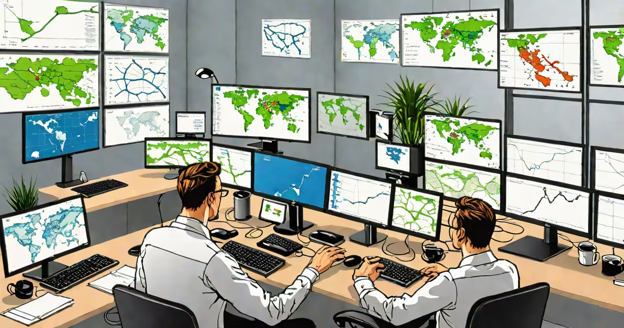
A GIS specialist collects, analyzes, and visualizes spatial data using geographic information systems to solve problems involving location. They turn raw data into maps and models that reveal patterns in land use, population density, infrastructure, and environmental conditions. Their work supports decisions in urban development, disaster management, public health, and resource conservation.
These professionals combine technical skills with domain knowledge. They build digital maps that show changes over time, model flood risks, track wildlife migration, or identify optimal routes for delivery services. Their outputs are used by city planners, emergency responders, scientists, and business strategists.
According to the U.S. Bureau of Labor Statistics, employment for cartographers and photogrammetrists-including GIS specialists-is projected to grow 6% from 2022 to 2032, faster than average for all occupations. This growth reflects increasing demand for spatial data in government, private industry, and research institutions.
GIS specialists start by gathering data from satellite imagery, GPS devices, surveys, or existing databases. They then clean and organize the data into layers-such as roads, rivers, property boundaries, or temperature readings-each representing a different aspect of a geographic area.
Using software like ArcGIS Pro or QGIS, they overlay these layers to create detailed maps. For example, a specialist might layer soil type, rainfall records, and historical landslide events to predict where landslides are most likely to occur during storms. This predictive modeling helps local governments prepare evacuation plans.
They also run spatial queries. A common task is finding all schools within 1 mile of a proposed industrial site. The system returns a list of locations based on distance calculations, which the specialist then exports for reporting or further analysis.
Most GIS specialists rely on desktop platforms such as Esri's ArcGIS set, which includes ArcMap, ArcGIS Pro, and ArcGIS Online. These tools allow users to perform complex spatial operations like buffering, intersecting, and network analysis.
Open-source alternatives like QGIS offer similar functionality and are widely adopted in academic and nonprofit settings. QGIS supports plugins for advanced tasks such as terrain analysis, 3D visualization, and machine learning integration with geospatial data.
Specialists also use programming languages like Python to automate workflows. For instance, a script can batch-convert thousands of GPS coordinates into map points, saving hours of manual entry. The Python library GeoPandas enables efficient manipulation of geographic datasets.
| Tool/Platform | Primary Use Case | Common User Group |
|---|---|---|
| ArcGIS Pro | Advanced spatial analysis, 3D mapping, enterprise data management | Government agencies, large corporations |
| QGIS | Open-source mapping, custom plugin development, cost-effective solutions | Universities, NGOs, small businesses |
| Google Earth Engine | Large-scale environmental monitoring using satellite time series | Environmental researchers, climate scientists |
In urban planning, GIS specialists help design efficient transportation networks. For example, during the redevelopment of downtown Seattle, a team used GIS to simulate traffic flow under various road expansion scenarios. By analyzing congestion hotspots and public transit access, they recommended adding a dedicated bus lane on 1st Avenue, reducing peak-hour delays by 22%.
Environmental agencies depend on GIS to monitor deforestation. The World Resources Institute uses satellite data processed through GIS to detect illegal logging in the Amazon rainforest. Alerts are triggered when tree cover loss exceeds thresholds, enabling rapid intervention by enforcement teams.
Public health departments apply GIS to track disease outbreaks. During the 2022 dengue fever surge in Miami-Dade County, health officials mapped reported cases against mosquito breeding sites and weather patterns. This revealed a correlation between high humidity and increased transmission near drainage canals, leading to targeted pesticide spraying and community education campaigns.
Many assume a GIS specialist only creates maps. While cartography is part of the role, their primary function is analysis-not just display. A map showing school zones is useful, but identifying which zones have declining enrollment due to housing shifts requires statistical modeling and trend analysis.
Another misconception is that GIS work is purely technical. In reality, communication is critical. A specialist must explain findings to non-experts. When advising a city council on zoning changes, they may need to simplify complex spatial relationships into accessible visuals or narratives.
There's also confusion between GIS and remote sensing. Remote sensing involves capturing images from satellites or drones. GIS integrates those images with other data types-like census records or weather reports-to derive insights. You can't do GIS without data, but not all data is geospatial.
In 2023, after Hurricane Ian struck Florida, a team of GIS specialists from the Federal Emergency Management Agency (FEMA) deployed to coordinate relief efforts. They combined real-time damage assessments from drone footage with pre-storm data on power lines, hospitals, and evacuation routes.
Within 48 hours, they produced a changing dashboard showing affected areas. Red zones indicated neighborhoods with no electricity and blocked roads. Blue markers showed available shelters. This enabled first responders to prioritize aid delivery to the hardest-hit regions.
The system updated every 15 minutes as new reports came in. One key insight: mobile cell towers were restored faster than expected, allowing displaced residents to contact family. This information was shared with state officials to adjust shelter allocations.
This project demonstrates how GIS specialists don't just manage data-they enable life-saving decisions under pressure.
Advanced roles often require graduate study. A master's in GIS or urban informatics can lead to leadership positions in regional planning or environmental consulting. Some specialists move into data science, applying spatial modeling techniques to business analytics.
I once worked with a team that mapped food deserts in Chicago. We combined grocery store locations, income levels, and public transit routes. The resulting heat map showed that low-income neighborhoods with poor bus service had fewer fresh food options. This report influenced a city-funded initiative to expand bus routes and attract grocery chains.
Understanding spatial relationships isn't just about coordinates-it's about people, places, and policies. That's why GIS specialists play a important role in shaping equitable communities.