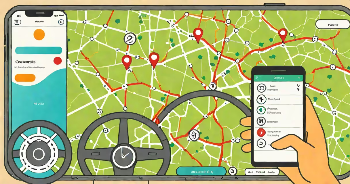
Telematics navigation uses GPS, cellular communication, and onboard vehicle sensors to collect and transmit real-time data about a vehicle's location, speed, engine status, and driving behavior. This system enables remote monitoring, route optimization, and predictive maintenance for fleets and individual drivers.
At its core, telematics navigation integrates hardware installed in a vehicle-such as a GPS receiver and cellular modem-with software that processes and displays data. Unlike basic GPS navigation, which only provides turn-by-turn directions, telematics navigation continuously sends data back to a central server. This allows fleet managers, insurers, and drivers to monitor vehicle activity remotely and respond to events like speeding, idling, or breakdowns.
For example, a delivery company using telematics navigation can reroute a truck in real time when traffic delays are detected. The system calculates the optimal path based on current road conditions, fuel efficiency, and delivery deadlines. Data from the vehicle's sensors confirms whether the driver adheres to speed limits and avoids harsh braking, improving both safety and fuel economy.
Telematics navigation begins with a device mounted in the vehicle, typically near the dashboard or under the hood. This unit contains a GPS antenna, a cellular modem (often LTE or 5G), and interfaces to the vehicle's OBD-II port. The OBD-II port provides access to engine diagnostics, such as RPM, coolant temperature, and fault codes.
Every 10 to 60 seconds, the device captures GPS coordinates and sensor readings. It then transmits this data via a cellular network to a cloud-based platform. The platform stores the data, runs analytics, and presents it through a web or mobile app. Users can view live maps, historical routes, idle times, and fuel consumption metrics.
A key feature is event triggering. If a vehicle exceeds a set speed limit, the system sends an alert to a manager's phone. If the engine temperature rises above normal, a warning appears in the dashboard interface. These automated responses reduce response time and prevent accidents or mechanical failures.
Telematics navigation systems vary by deployment model and level of integration. The most common types are:
| Type | Hardware | Use Case | Example |
|---|---|---|---|
| Aftermarket Devices | Plug-and-play units with GPS and cellular | Fleet tracking for small businesses | Geotab GO 4 |
| Embedded Systems | Integrated into factory-installed infotainment | Automotive OEM services | GM OnStar, Ford Sync |
| Hybrid Solutions | Combines built-in and add-on modules | Large fleets needing high accuracy | Verizon Connect with third-party sensors |
Aftermarket devices are often used by independent contractors or small delivery firms. They require no factory integration and can be installed in minutes. Embedded systems offer deeper integration with the vehicle's controls and are standard in newer models. Hybrid solutions allow flexibility-managers can add sensors for fuel monitoring or door status while relying on the factory GPS signal.
One non-obvious distinction: not all GPS-enabled navigation systems are telematics. A standalone GPS navigator only receives location data. Telematics navigation sends data *out* to a server. This bidirectional flow enables remote actions, such as locking a vehicle or disabling the engine if stolen.
Many people confuse telematics navigation with basic GPS navigation. A GPS navigator shows a route from point A to B. It doesn't report engine health, driver behavior, or real-time fleet status. Telematics navigation does all of that-and more.
Another misconception is that telematics requires constant internet access. While data transmission depends on cellular coverage, many devices store data locally during outages and sync when service returns. For example, a truck traveling through a tunnel may lose signal for five minutes, but the device logs position and speed changes and uploads them once back online.
Some assume telematics navigation is only for large corporations. In reality, small businesses use it too. A landscaping company with five trucks can use telematics to ensure drivers aren't idling for long periods, reducing fuel costs by up to 15%, according to a 2022 study by the American Transportation Research Institute.
I once observed a regional courier service in Portland implement telematics navigation across its 12-truck fleet. Before installation, drivers frequently took longer routes due to outdated maps and poor coordination. Dispatchers relied on radio calls, leading to delays and missed deliveries.
After installing Geotab GO 4 units, the company saw immediate improvements. The central dashboard showed each vehicle's live location. When a driver missed a turn, the system flagged it and sent a correction within 30 seconds. Over one month, average delivery time dropped from 48 minutes to 34 minutes.
Engine diagnostics revealed that two trucks were experiencing abnormal idle times. Maintenance was scheduled, and fuel usage fell by 12%. The system also identified a pattern of aggressive acceleration among one driver. After a coaching session, his fuel consumption improved by 9% and accident risk decreased.
This example shows how telematics navigation moves beyond navigation-it transforms operational efficiency, safety, and cost control.
Telematics navigation is not just a tool for tracking-it's a decision-making system. It turns raw location data into insights that improve safety, reduce costs, and improve customer service.